

1
/
of
6
RMH RV Parts
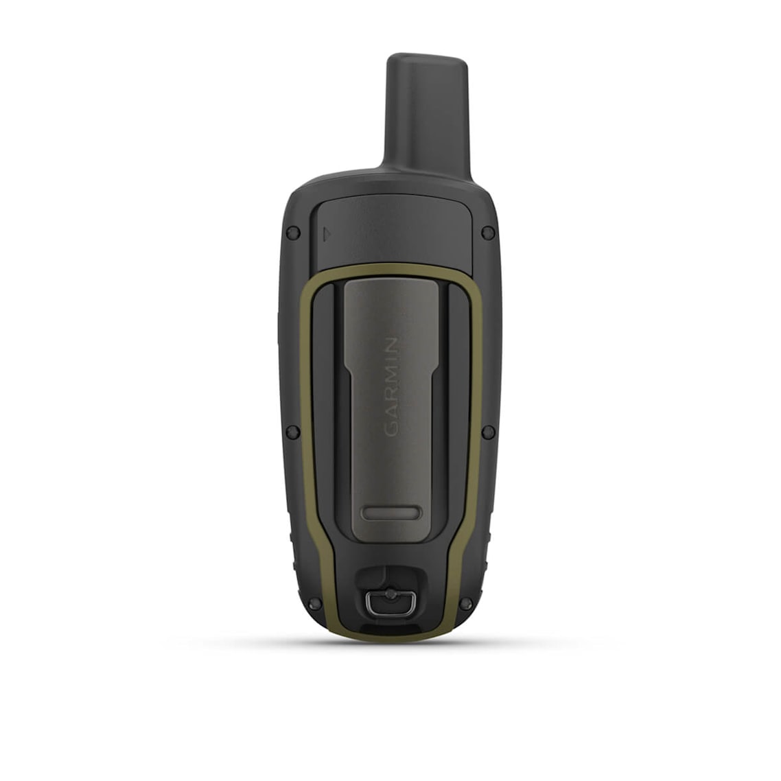
GPSMAP® 65s GPS Handheld with Sensors
GPSMAP® 65s GPS Handheld with Sensors
Regular price
$539.99 CAD
Regular price
$539.99 CAD
Sale price
$539.99 CAD
Shipping calculated at checkout.
Quantity
Couldn't load pickup availability
Find your way in this big, wide world with GPSMAP® 65s. This rugged handheld offers multi-band technology and expanded GNSS support for optimal accuracy in steep country, urban canyons and forests with dense trees. It has a 2.6” color display, button-operated design, routable TopoActive mapping and ABC (altimeter, barometer and compass) sensors. Wireless connectivity through BLUETOOTH® and ANT+® technologies provides compatibility with the Garmin Explore™ website and app1 to help you manage tracks, routes and waypoints and review statistics from the field.
- Large 2.6” sunlight-readable color display for easy viewing
- Expanded global navigation satellite systems (GNSS) and multi-band technology allow you to get optimal accuracy in challenging locations, including steep country, urban canyons and forests with dense trees
- Includes routable TopoActive mapping and federal public land map (U.S. only)
- Go-anywhere navigation with 3-axis compass and barometric altimete
- Compatible with the Garmin Explore™ website and app1 to help you manage tracks, routes and waypoints and review statistics from the field
| Lens Material |
chemically strengthened glass |
| Dimension | 2.4" x 6.3" x 1.4" (6.1 x 16.0 x 3.6 cm) |
| Weight |
7.7 oz (217 g) with batteries |
| Water rating | IPX7 |
| Display Type | transflective, 65K color TFT |
| Display Size | 1.43" x 2.15" (3.6 x 5.5 cm); 2.6" diag (6.6 cm) |
| Display resolution | 160 x 240 pixels |
| Battery type | 2 AA batteries (not included); NiMH or Lithium recommended |
| Battery life | 16 hours |
| Memory/History | 16 GB (user space varies based on included mapping) |
| Interface | high speed mini USB and NMEA 0183 compatible |
| Maps & Memory | |
|---|---|
| Preloaded maps |
yes (TopoActive; routable) |
| Ability to add maps | Yes |
| Basemap | Yes |
| Automatic routing (turn by turn routing on roads) for outdoor activities | Yes |
| Map segments | 3000 |
| Satellite Imagery | no |
| Includes detailed hydrographic features (coastlines, lake/river shorelines, wetlands and perennial and seasonal streams) | Yes |
| Includes searchable points of interests (parks, campgrounds, scenic lookouts and picnic sites) | Yes |
| Displays national, state and local parks, forests, and wilderness areas | Yes |
| External memory storage | yes (32 GB max microSD™ card) |
| Waypoints/favorites/locations | 5000 |
| Tracks | 200 |
| Navigation Track Log | 10000 points, 200 saved tracks |
| Navigation Routes | 200, 250 points per route; 50 points auto routing |
| Sensors | |
|---|---|
| GPS | Yes |
| GLONASS | Yes |
| Galileo | Yes |
| QZSS | Yes |
| Barometric altimeter | Yes |
| Compass | Yes (tilt-compensated 3-axis) |
| High-sensitivity receiver | Yes |
| GPS compass (while moving) | Yes |
| Multi-band frequency support | Yes |
| Daily Smart Features | |
|---|---|
| Smart notifications on handheld | Yes |
| VIRB® Remote | Yes |
| Pairs with Garmin Connect™ Mobile | Yes |
| Outdoor Recreation | |
|---|---|
| Point-to-point navigation | Yes |
| Area calculation | Yes |
| Fish forecast | Yes |
| Sun and moon information | Yes |
| Geocaching-friendly | Yes (Paperless) |
| Custom maps compatible | yes (500 custom map tiles) |
| Picture viewer | Yes |
| Outdoor Applications | |
|---|---|
| Compatible with Garmin Explore™ app | Yes |
| Garmin Explore website compatible | Yes |
| Connections | |
|---|---|
| Connections Wireless Connectivity |
yes (BLUETOOTH®, ANT+®) |
Share
No reviews