Backroad Maps
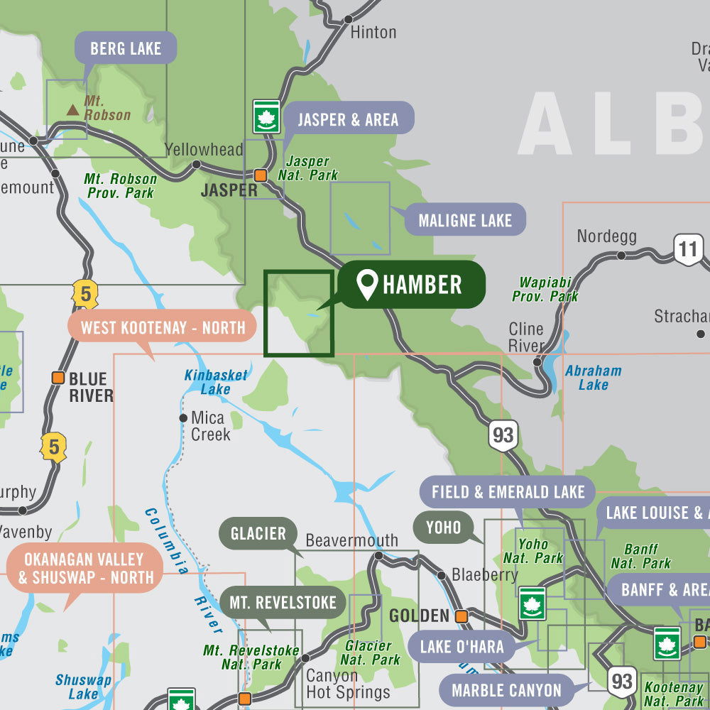
Hamber Provincial Park BC - Park Map
Hamber Provincial Park BC - Park Map
Couldn't load pickup availability
Hamber Provincial Park Map BC
Covering Hamber Provincial Park in BC, this recreation topographic map highlights all the hiking trails, backcountry campsites, fishing lakes and rivers, waterfalls, resorts and more! Using 1:10,000 scale data, this map features our industry-leading topographic contours and relief shading and is the most detailed map available for this remote wilderness park. Included on the map are Fortress Lake, Alnus Creek, Chaba River, Chisel Creek, Chisel Peak, East End Campsite, Fortress Creek Campsite, Fortress Lake Retreat, Ghost Mountain, Lick Peak, Mount Sadleir, Serenity Mountain, Washout Creek Campsite, Wood River, Younghusband Ridge and more!
The printed version of the map is displayed at 1:50,000 scale on 61 x 94 cm (24 x 37 in) paper. You can choose between having the map printed on regular water-resistant paper or a more durable waterproof synthetic. The Wall Maps have been customized to display nicely and fit into common picture frame sizes so you can hang on the cabin, home or workshop wall. They are available in three different sizes and come printed on the waterproof synthetic material.
Print Features:
- Printed on regular water-resistant paper or durable waterproof and tear-resistant material
- Includes industry leading cartographic detail and state-of-the-art relief shading
- Countless points of interest, hiking trails, campsites, boat launches, paddling routes and more!
- Easy to read, large-scale 61 x 94 cm (24 x 37 in) map at 1:50,000 scale
- Seamless map coverage requires no page turning
Share