Backroad Maps
Kokanee Glacier Provincial Park BC - Park Map
Kokanee Glacier Provincial Park BC - Park Map
Couldn't load pickup availability
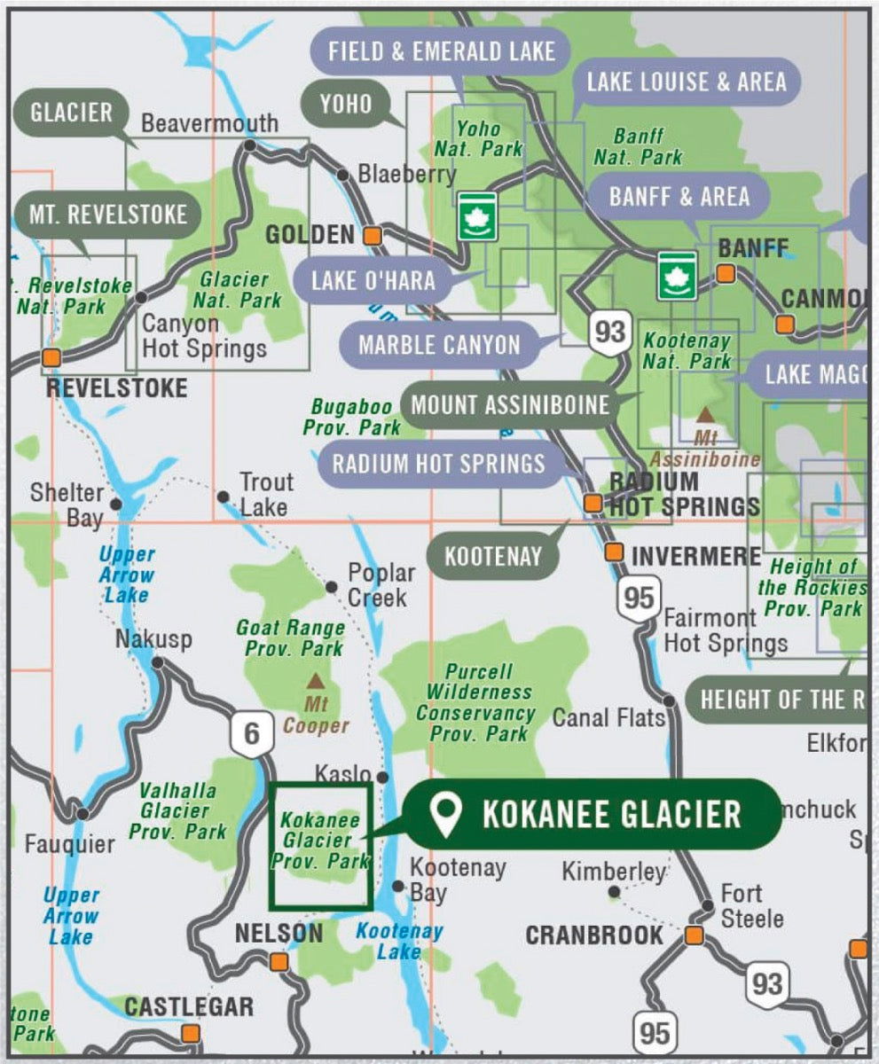
Kokanee Glacier Provincial Park Map BC
Covering Kokanee Glacier Provincial Park and the surrounding area, this topographic recreation map highlights all the campgrounds, access roads, trails for hiking, horseback riding, mountain biking, cross-country skiing and snowshoeing, backcountry huts and cabins, fishing rivers, lakes and more! This Adventure map features our industry-leading topographic contours and relief shading and charts the areas around Kokanee Glacier, Bridal Veil Falls, Crazy Jane Lake, Enterprise Creek, Gibson Lake, Joker Lakes, Kaslo Lake, Kokanee Glacier Cabin, Kokanee Lake, Lemon Creek, Slocan Chief Cabin, Woodbury Cabin and more!
The printed version of the map is displayed at 1:35,000 scale on 61 x 94 cm (24 x 37 in) paper. You can choose between having the map printed on regular water-resistant paper or a more durable waterproof synthetic. The Wall Maps have been customized to display nicely and fit into common picture frame sizes so you can hang on the cabin, home or workshop wall. They are available in three different sizes and come printed on the waterproof synthetic material.
Print Features:
- Printed on regular water-resistant paper or durable waterproof and tear-resistant material
- Includes industry leading cartographic detail and state-of-the-art relief shading
- Countless points of interest, hiking trails, campsites, boat launches, paddling routes and more!
- Easy to read, large-scale 61 x 94 cm (24 x 37 in) map at 1:35,000 scale
- Seamless map coverage requires no page turning
Share